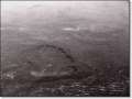
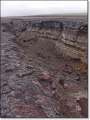
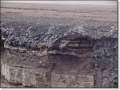
| A map of the Hawaiian islands shows them strung out in a long northwest pointing line. The reason for this is that all of the islands were formed by volcanic eruptions emanating from a single location in the earth's mantle (which is fixed.) The Pacific Plate is one of the major land masses that forms the earth's exterior and it is moving northwest at about 3.4 inches/year. The Hawaiian islands are part of the Pacific Plate and are continuing to form even today. |


|
|
|
|
|
|

|
|
|

|
|

|

|
|
|
|
|
|

|
|
|
| Return to Photo Gallery Index |